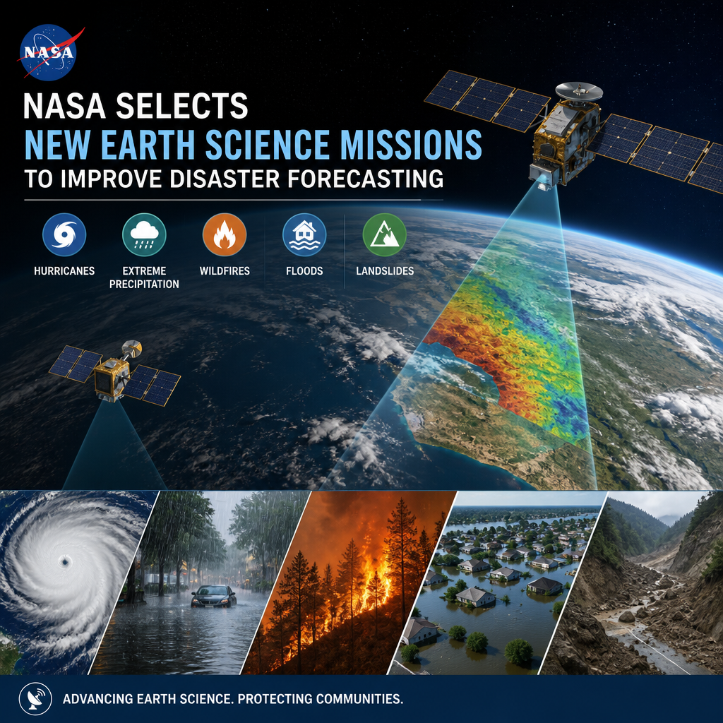
NASA Selects New Earth Science Missions to Improve Disaster Forecasting
NASA’s latest Earth science missions could give researchers earlier, clearer warnings about storms, floods, wildfires, and more. By improving disaster forecasting, NASA aims to help communities prepare faster and respond more effectively when extreme events strike.
By: Peter on July 31, 2026
NASA is making another major move in Earth observation, and this time the focus is squarely on disaster readiness. In 2026, NASA selects new Earth science missions to improve disaster forecasting by expanding the agency’s ability to monitor storms, floods, wildfires, coastal change, and other hazards from space. These missions are designed to give scientists better data, earlier warnings, and a clearer view of how extreme events develop over time.
For communities that live with hurricanes, flash floods, drought, landslides, and wildfire risk, this matters. Better forecasting does not eliminate disaster, but it can improve preparedness, response, and recovery. NASA’s new Earth science missions will help fill critical gaps in the information emergency managers and researchers rely on every day.
Why NASA’s New Earth Science Missions Matter
Earth science is not just about studying the planet for curiosity’s sake. It plays a practical role in public safety, infrastructure planning, agriculture, water management, and emergency response. When NASA selects new Earth science missions to improve disaster forecasting, it strengthens the tools used to understand how and where dangerous conditions are forming.
The value of space-based observation
Satellites give researchers a broad, continuous view of Earth that ground-based sensors cannot always provide. From orbit, instruments can track:
Storm structure and movement
Soil moisture and surface water
Land deformation from earthquakes or volcanic activity
Changes in vegetation and drought stress
Smoke plumes and fire behavior
Coastal flooding and sea level impacts
This kind of monitoring helps scientists detect patterns earlier and build more accurate models.
Why forecasting disasters is getting harder
Climate change, urban growth, and more complex weather patterns are increasing the pressure on forecasting systems. A storm can intensify quickly. A wildfire can spread differently depending on wind, heat, and fuel conditions. Flood risk can rise fast after extreme rainfall.
NASA’s Earth science missions support the models that turn raw observations into forecasts and warnings. The better the data, the better the prediction.
What NASA Is Looking to Improve in 2026
The 2026 mission selections are part of a broader effort to advance Earth science research and improve real-world decision-making. While the exact mission goals can vary, the overall purpose is consistent: gather better data about the physical processes that drive disasters.
Better understanding of extreme weather
One priority is improving how scientists study storm development, precipitation, and atmospheric conditions. That can help with forecasting:
Hurricanes and tropical storms
Severe thunderstorms
Heavy rainfall and flash flooding
Atmospheric rivers and winter storms
More precise observations can reveal how storms intensify and where they are most likely to strike.
Improved wildfire monitoring
Wildfires are influenced by temperature, wind, dryness, and fuel conditions. Earth observation missions can help track:
Vegetation health
Ground and air moisture
Fire hotspots
Smoke movement
Burn severity after the fire
This information supports both immediate response and long-term planning.
Flood and coastal hazard tracking
Flooding remains one of the most common and costly disasters in many regions. NASA’s Earth science missions can support better forecasting by measuring:
Rainfall patterns
River and lake levels
Soil saturation
Coastal erosion
Sea level rise and storm surge vulnerability
For coastal communities, these data are especially important as storms become more damaging and sea levels continue to affect low-lying areas.
How These Missions Support Disaster Forecasting
When NASA selects new Earth science missions to improve disaster forecasting, the goal is not just to collect more information. The goal is to improve the entire forecasting pipeline, from measurement to model to warning.
1. Filling data gaps
Many hazards occur in places where ground-based networks are sparse. Satellites help cover remote areas, oceans, mountains, and disaster-prone regions where sensors may be limited.
2. Improving model accuracy
Forecast models depend on good inputs. New satellite observations can improve weather and climate models by adding detail about temperature, moisture, winds, cloud formation, land use, and surface conditions.
3. Supporting early warning systems
Earlier and more accurate detection can give emergency managers more time to prepare evacuation plans, position resources, and inform the public.
4. Helping communities recover
Disaster forecasting does not end when the event passes. NASA data also help researchers understand damage, monitor recovery, and assess future risk. That makes rebuilding smarter and more resilient.
Examples of Real-World Disaster Applications
The practical side of NASA’s Earth science work is easy to see when you look at how the data are used on the ground.
Hurricane response
Satellites can help identify storm intensity, moisture fields, and sea surface temperatures that influence storm growth. That information supports hurricane tracking and intensity forecasts, which are among the most difficult forecasts to make.
Flood preparedness
By combining precipitation observations, soil moisture data, and river monitoring, scientists can estimate where flooding is more likely. Local governments can then issue alerts, close roads, and prepare shelters.
Wildfire risk management
Forecasters use satellite data to assess how dry vegetation is and how heat and wind may influence fire spread. That helps fire agencies allocate equipment and personnel more efficiently.
Landslide and drought awareness
Heavy rain can trigger landslides in unstable terrain, while long dry periods can stress crops and water supplies. NASA’s observations help scientists spot the conditions that raise these risks.
The Technology Behind the Missions
NASA Earth science missions often rely on specialized instruments that measure different parts of the Earth system. Some missions focus on radar or lidar. Others use imaging spectrometers, microwave sensors, or thermal instruments.
Common types of Earth observation tools
Radar: Detects surface changes and can work through clouds
Lidar: Measures distance and elevation with laser pulses
Microwave sensors: Useful for measuring moisture, rainfall, and surface conditions
Thermal sensors: Detect heat signatures and temperature patterns
Imaging spectrometers: Identify material and vegetation differences across landscapes
Together, these tools give scientists a more complete picture than any single instrument could provide.
Why multiple data sources matter
Disasters are complex. A hurricane is not just wind. A wildfire is not just heat. Flooding is not just rain. Each hazard involves a combination of atmospheric, land, ocean, and human factors.
That is why Earth science missions work best when paired with:
Ground stations
Weather balloons
Aircraft observations
River gauges
Local emergency data
Computer forecast models
The strongest forecasts come from combining all of these sources.
How NASA Partnerships Make the Impact Bigger
NASA rarely works alone on disaster-related Earth science. The agency shares data and collaborates with federal, state, local, academic, and international partners. That teamwork turns satellite observations into practical tools.
Collaboration with scientists and agencies
NASA data often support work by:
NOAA
FEMA
USGS
State and local emergency offices
Universities and research labs
International weather and climate organizations
These partnerships help move information from research into operations.
Open data helps everyone
One of NASA’s strengths is its commitment to making Earth science data broadly available. That transparency gives researchers, students, developers, and public agencies access to the information they need to build tools, apps, maps, and forecast systems.
What This Means for Communities
For the average person, the technical details of satellite instruments may seem distant. But the results can affect daily life in meaningful ways.
Better planning before disasters
Improved forecasting can help schools, businesses, hospitals, and families make smarter decisions before dangerous weather arrives.
Faster emergency response
When a threat is clearer, emergency managers can mobilize resources more effectively. That can mean fewer delays and better coordination.
More resilient infrastructure
Cities and utilities can use Earth science data to identify flood-prone zones, wildfire exposure, and climate stress on roads, bridges, water systems, and power networks.
More informed long-term decisions
Earth science missions also help communities plan for the future. If an area is seeing more frequent flooding or intensifying heat, local leaders can use that information when designing new development or upgrading infrastructure.
Why 2026 Is an Important Year
The fact that NASA selects new Earth science missions to improve disaster forecasting in 2026 reflects a broader shift toward resilience-focused science. It is not enough to observe the planet after something goes wrong. The scientific community needs better tools that help anticipate danger earlier and respond more effectively.
This timing is especially important because many regions are already facing overlapping risks. A single community may need to prepare for wildfire in one season, flooding in another, and severe storms throughout the year. New missions can help researchers understand those linked hazards in greater detail.
Looking ahead
As these missions move from selection to development and eventual launch, their benefits will grow over time. The most immediate impact may come through improved models and better data access. Over the long term, the missions could shape how entire regions think about risk, emergency planning, and climate adaptation.
Frequently Asked Questions
What does it mean when NASA selects a new Earth science mission?
It means NASA has chosen a mission concept or project to move forward in its Earth science program. These missions typically aim to answer key scientific questions and collect data that can be used for research, forecasting, and public safety.
How do Earth science missions improve disaster forecasting?
They improve disaster forecasting by providing better observations of weather, land, oceans, and surface conditions. That data helps scientists refine models used to predict storms, floods, wildfires, drought, and other hazards.
Will these missions help with local emergency alerts?
Indirectly, yes. NASA does not issue emergency alerts, but its data support the weather and hazard models used by agencies that do. Better satellite data can lead to more accurate forecasts and earlier warnings.
Are NASA’s Earth science data available to the public?
Much of NASA’s Earth observation data is publicly available and widely used by researchers, agencies, and developers. This open access helps people build tools and services for forecasting, planning, and analysis.
Which disasters benefit most from NASA Earth science missions?
Many hazards benefit, including hurricanes, floods, wildfires, droughts, landslides, and coastal storm surge. The exact benefits depend on the mission, but all are aimed at improving understanding of Earth systems that drive risk.
When NASA selects new Earth science missions to improve disaster forecasting, it is investing in more than space technology. It is investing in public safety, scientific understanding, and community resilience. These missions help fill observation gaps, improve forecast models, and give emergency planners the information they need to act sooner and more effectively.
As extreme weather and environmental hazards continue to challenge communities, better Earth science will remain essential. The value of these missions is not abstract. It shows up in earlier warnings, smarter decisions, and stronger preparation before disaster strikes. It also supports recovery and long-term planning after the event is over.
For readers, the takeaway is simple: Earth science is one of the most practical tools we have for managing risk. Following NASA’s mission progress, data releases, and scientific findings can help you stay informed about the systems that shape weather, safety, and resilience. The more we understand Earth, the better prepared we are to face its most powerful events.
Peter B holds a degree in Journalism and has 5 years of experience covering U.S. economic policy, labor markets, and financial news. He writes data-driven news content on topics like inflation, interest rates, and employment trends.